01
Prepare
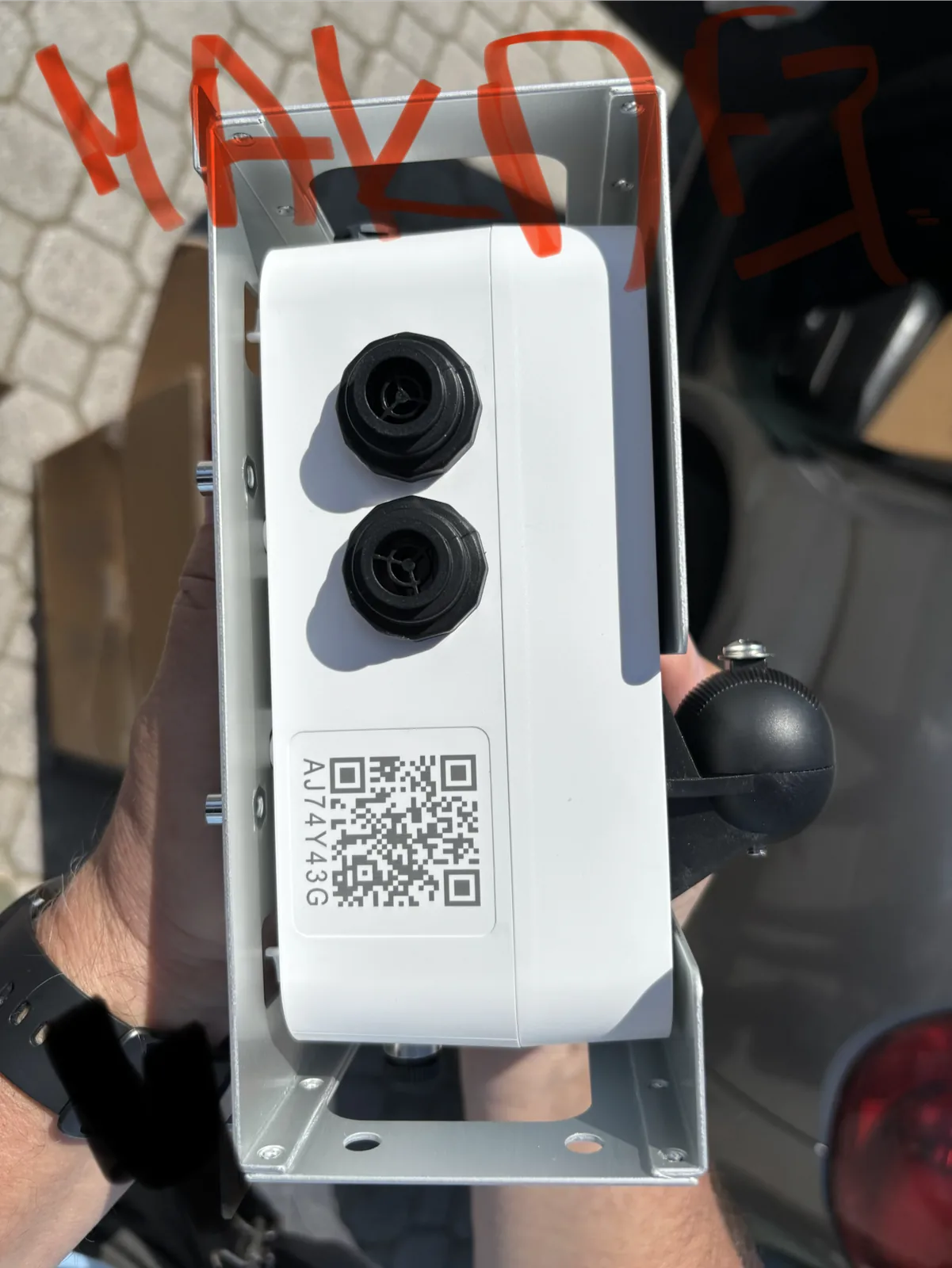
Each device is registered and labelled for its exact location before it leaves the office.
Outdoor air-quality data, city maps and public alerts — connected to the places where people live and work.
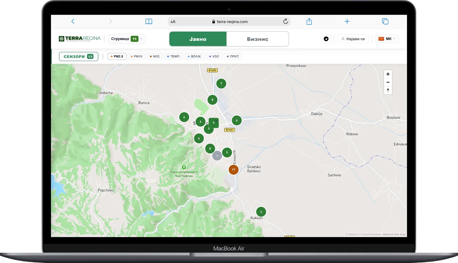
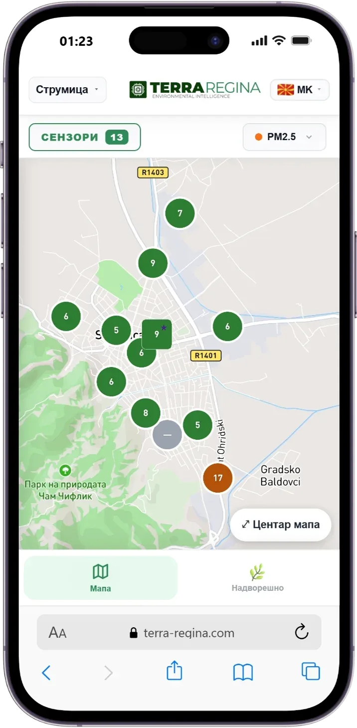
Sensors measure fine particles (PM2.5 and PM10) every few minutes. Readings go straight to a public map, an analytics panel for institutions and Telegram updates for parents and schools.
Every installation is done with the municipality, on existing street-light poles or public buildings.
Each device is registered and labelled for its exact location before it leaves the office.
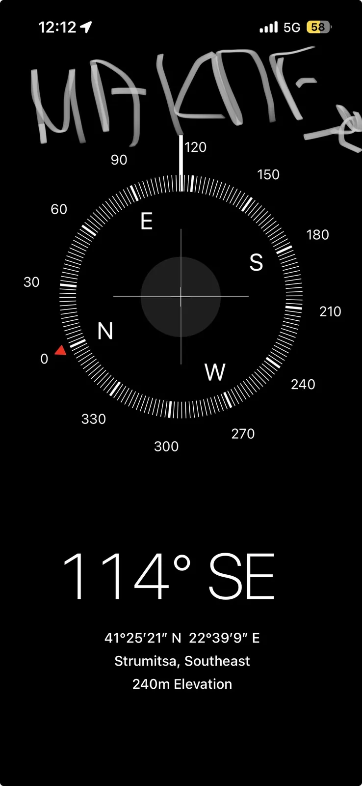
Direction is recorded on site so wind and pollution sources can be interpreted later.
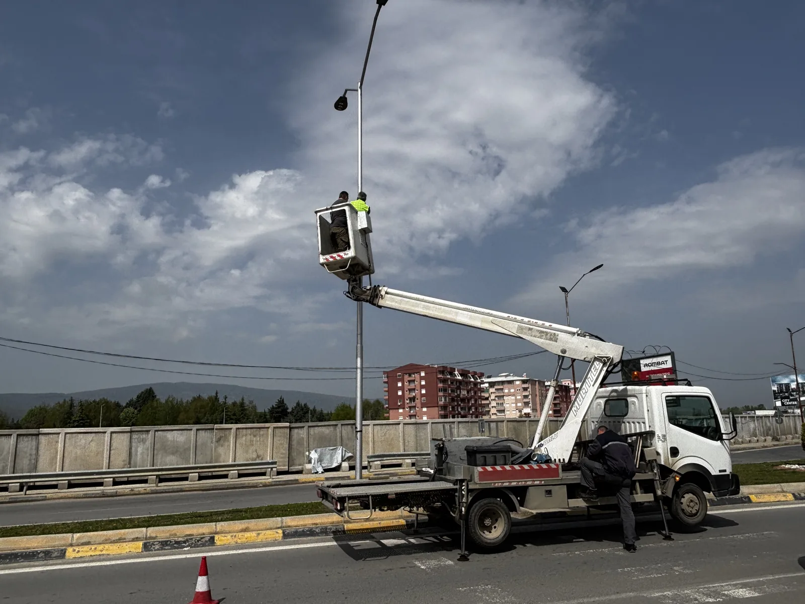
Sensors are mounted on existing street-light poles or buildings, together with the municipality.
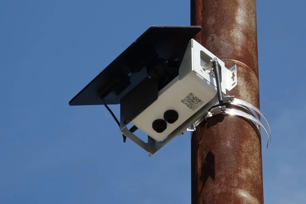
Readings appear on the public map, the analytics panel and Telegram updates.
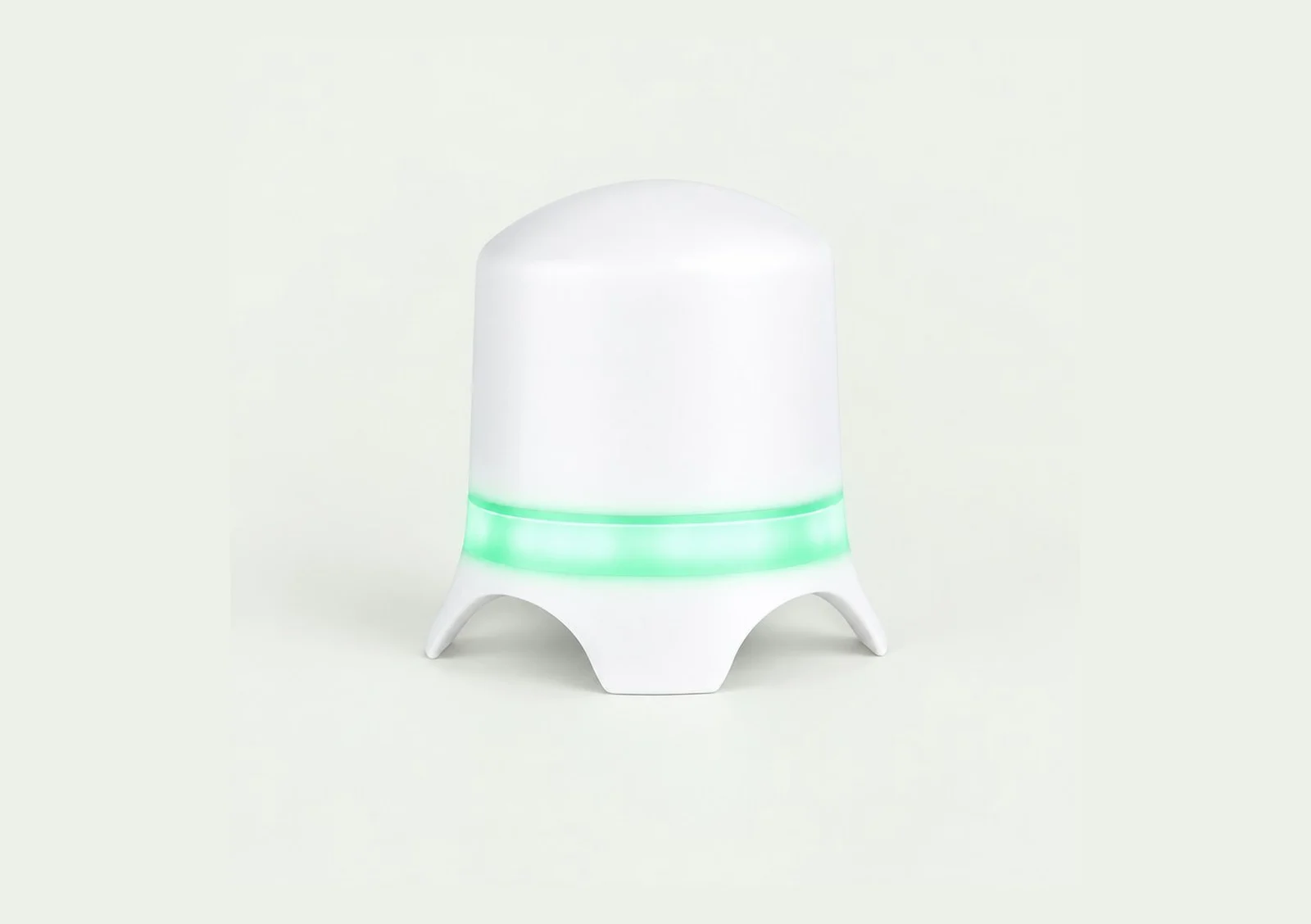
Dual laser particle counters. Used at schools and the kindergarten in Strumica.
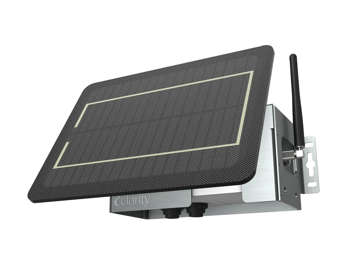
Solar-powered with cellular connection — no cables needed on the pole.
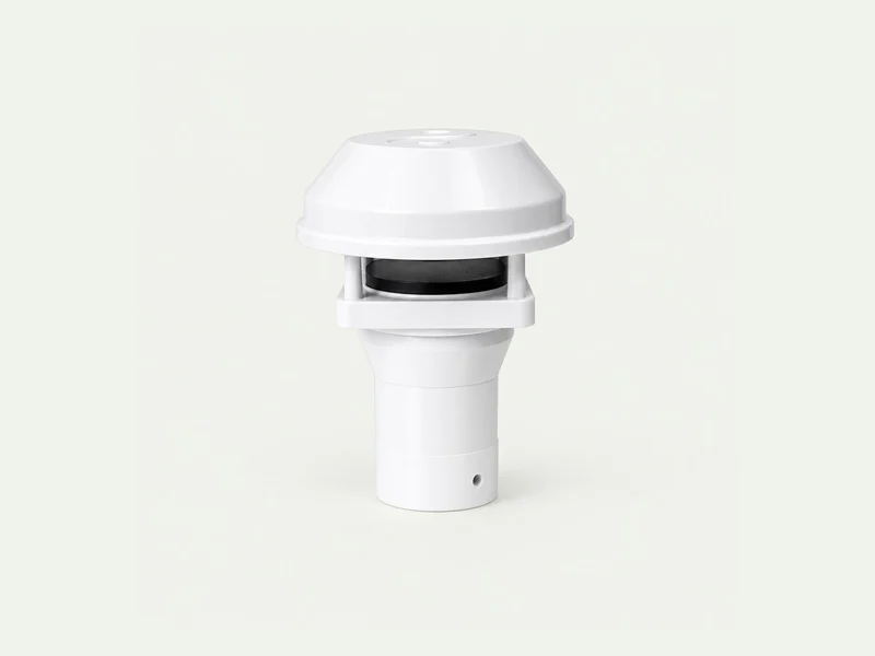
Wind speed and direction show where pollution is coming from.
The same measurements power maps, comparisons and reports for decision-makers.
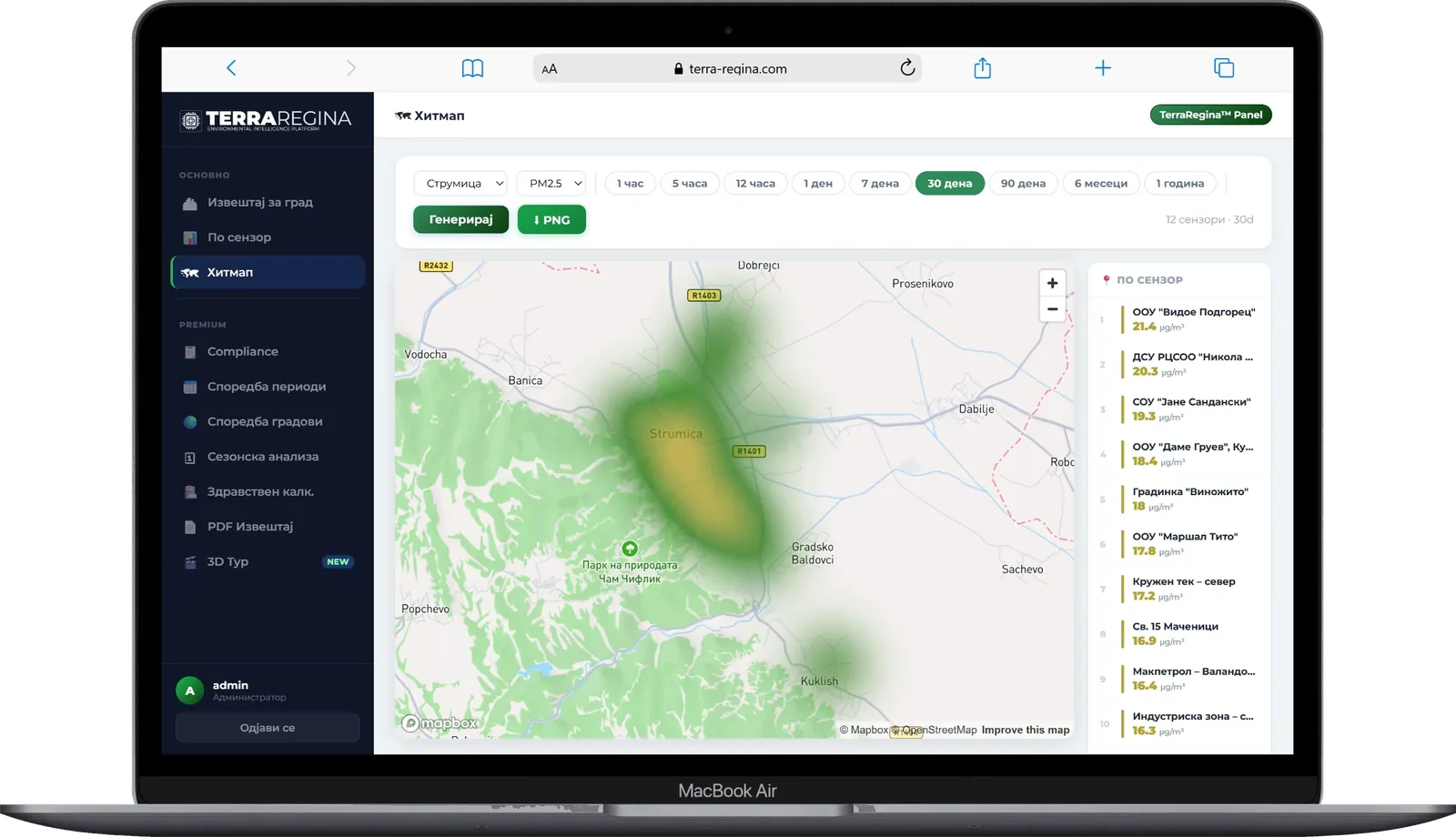
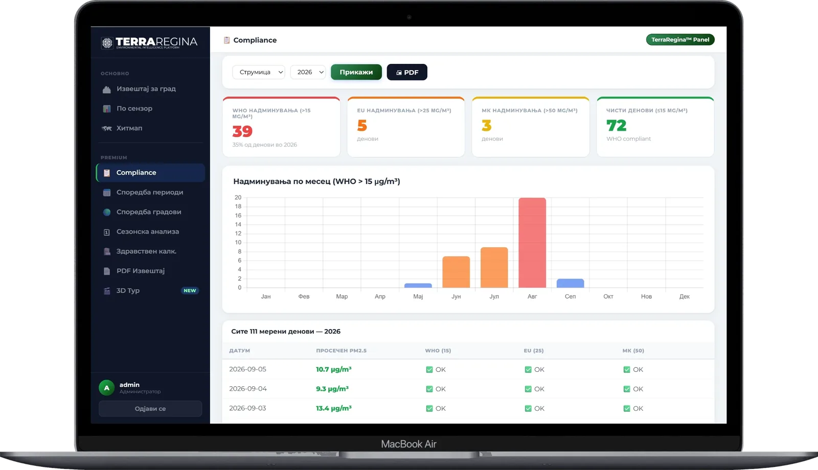
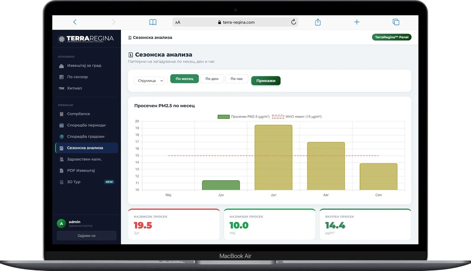
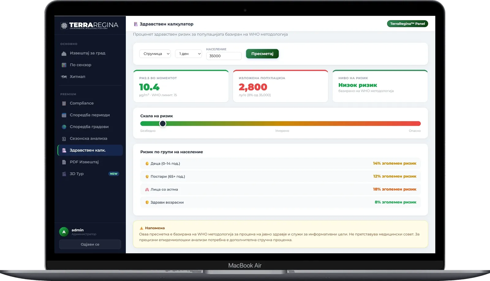
Green means good, yellow means moderate, orange and red mean people should limit time outside. The same scale is used on the map, in the app and in Telegram messages.
Tell us the city, building or site and what you want to know about the air. We will suggest a practical first step.